Then and now
Fifteen pairs. Drag the handle where both pictures exist; 5 of 15 have both today, the rest say what is coming. Every photograph carries its licence.
1. Texas Avenue, 1950s vs. today
The department-store block then; Art Alley and Bocanegra's now. The same buildings, mostly.
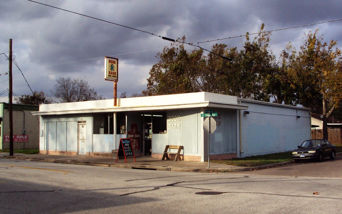
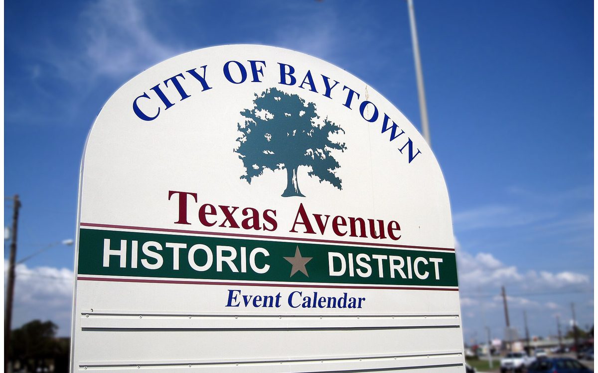
Then: City of Baytown, Texas. Texas Avenue Historic District sign at the corner of Decker Drive and Texas Avenue. (2008-10-04) — Wikimedia Commons, CC BY-SA 3.0. Now: Book Barn, 222 East Texas Avenue, Baytown, Texas 1211101534 — Patrick Feller, CC BY 2.0.
2. The Baytown Tunnel entrance vs. the Fred Hartman approach
The tunnel portal on the Baytown side; the bridge ramp where it was.
Photographs coming.
3. Goose Creek oil field, the over-water derricks vs. Tabbs Bay today
Pilings and rigs; open water and the Nature Center's edge.
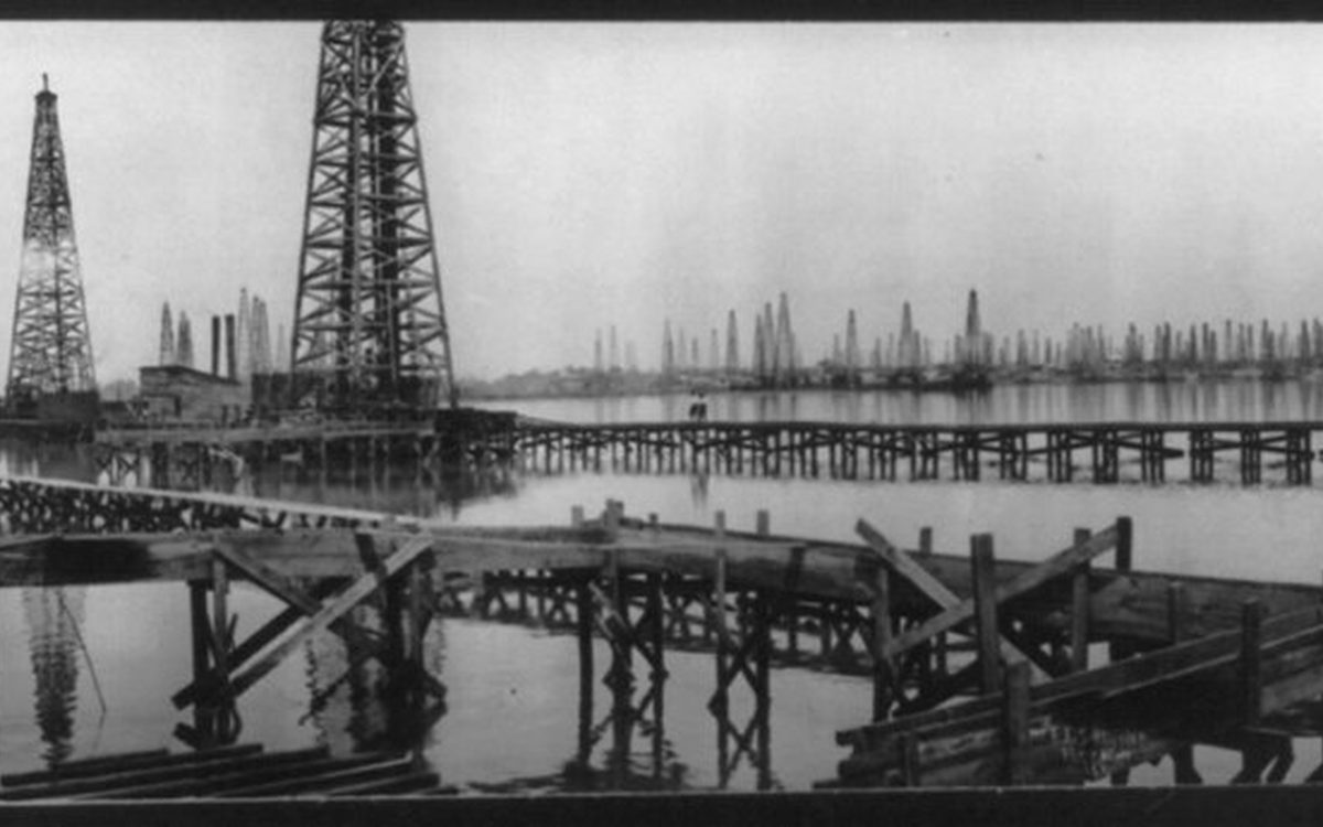
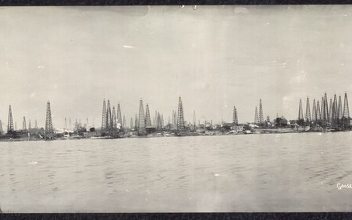
Then: Goose Creek, Texas oil field LCCN2007661588.tif (1917) — Wikimedia Commons, Public domain. Now: Goose Creek Oil Field LCCN2007661609 — Fæ, CC BY 2.0.
4. Brownwood, houses vs. the boardwalk
A street of homes on the peninsula; the marsh and the herons on the same ground.
Photographs coming.
5. The Humble refinery, 1920s vs. the ExxonMobil complex
A single unit on the channel; the skyline.
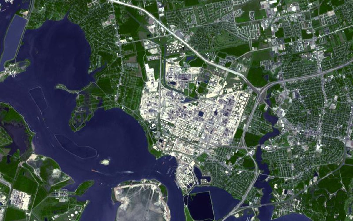
Then only — the other half is coming. Then: With a refining capacity of over 560,000 barrels per day, ExxonMobil’s Baytown refinery in Texas is the largest refinery in the United States. And with 970 hectares of intensely industrialized land within its perimeter, this is one of the largest industrial sites in the world. In addition to the refinery, ExxonMobil Chemical operates two petrochemical plants on the site, making 13 billion pounds of chemicals a year for a variety of industries and products. The refinery opened in 1919, by the Humble Oil Company, which later became Exxon. The 4 kilometer wide plant employs over 4,000 people. The image was acquired October 1, 2003, covers an area of 9 x 12 km, and is located at 29.7 degrees north latitude, 95 degrees west longitude. (Take) — Wikimedia Commons, Public domain.
6. The Lynchburg Ferry, wooden boat vs. today's
The same crossing, a century apart.
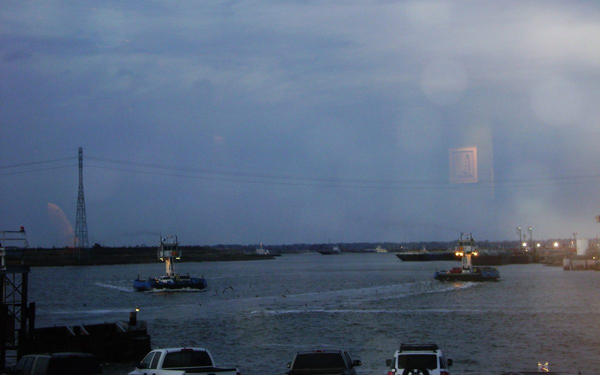
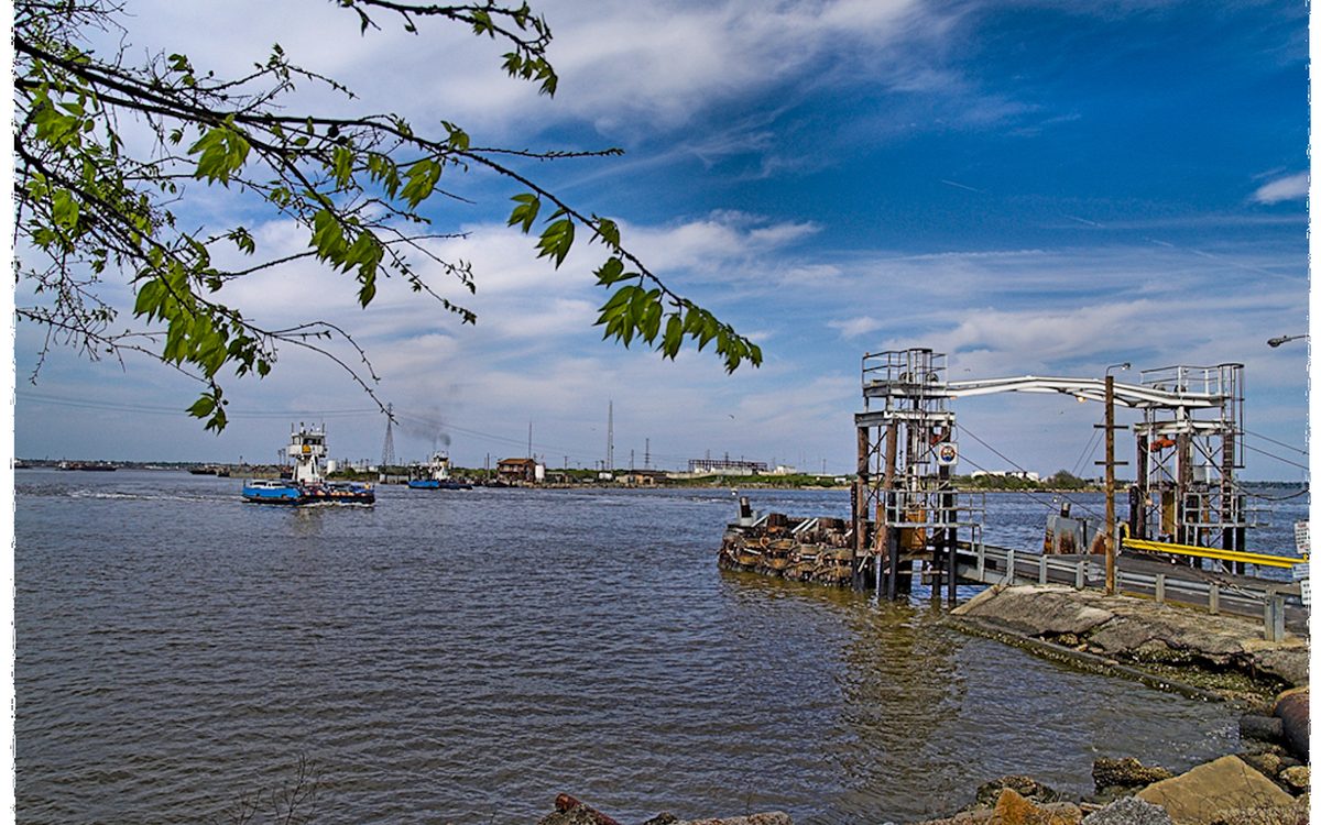
Then: Lynchburg Ferry (2008) — Wikimedia Commons, CC BY-SA 2.0. Now: Lynchburg Ferries, through Monument Inn Window 0228101815 — Patrick Feller, CC BY 2.0.
7. Sterling library, the original vs. the current building
The town's reading room then and now.
Photographs coming.
8. The San Jacinto Mall, opening day vs. the Marketplace site
The parking lot full; the cranes.
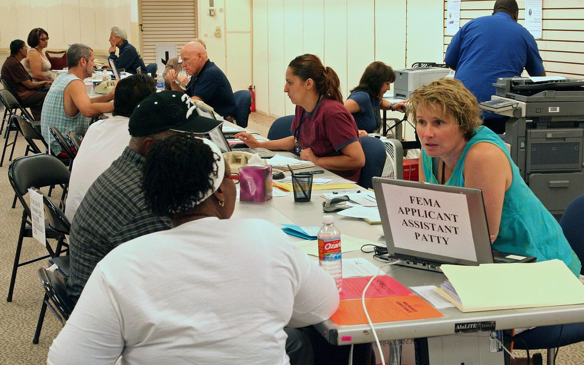
Then only — the other half is coming. Then: Baytown, TX, October 1, 2008 -- Applicants from eastern Harris County came to the Disaster Recovery Center at San Jacinto Mall to register for FEMA aid. Other agencies on site include the SBA, the U.S. Army Corps of Engineers, the Texas Department of Insurance, The Texas Unemployment Office, and a family counseling service. Photo by Greg Henshall / FEMA (2008-10-01) — Wikimedia Commons, Public domain.
9. Goose Creek's downtown vs. Pelly's vs. Baytown's — three main streets in the 1940s, one Texas Avenue now
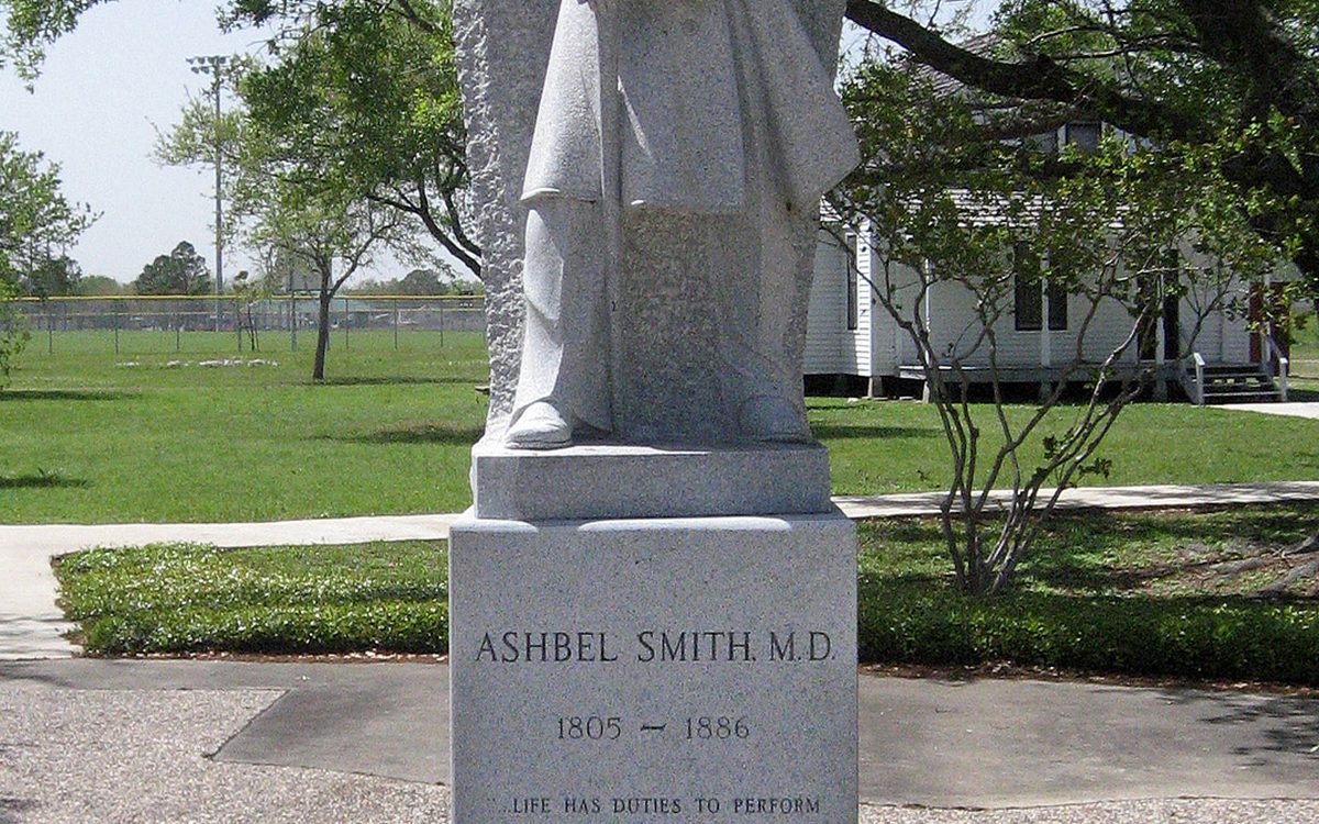
Then: Ashbel Smith was born in Hartford, Connecticut in 1805. Recieved his M.D. degree from Yale in 1828, and came to Texas from South Carolina in 1837. He established a plantation called Headquarters on Goose Creek in 1840 and in 1847 purchased property adjoining his and a plantation home named Evergreen on Tabbs Bay, part of the San Jacinto Estuary. Dr. Smith kept the name Evergreen for the combined estates. This **** acre estate remained his home until his death in 1886. Dr. Smith's active life as physician, statesman, soldier and educator often took him away, but he always returned to Evergreen and his life as a farmer, rancher, scientist and writer. Dr. Ashbel Smith served the Republic of Texas as Surgeon General 1837--1839, Minister to England and France 1842--1843, and Secretary of State 1845: worked to establish the Texas Medical Association 1853 and the Texas State Agricultural Society 1863: represented Harris County in the 11th and 16th Legislatures of the State of Texas: formed the Bayland Guards 1861: was Colonel 2nd Texas Infantry Confederate Army: led the way in founding Prairie View State Normal School 1879, The University of Texas in Austin 1881 and the medical branch in Galveston. Served as the first president of the University of Texas Board of Regents 1881--1886. (2009-04-02) — Wikimedia Commons, CC BY-SA 3.0. Now: Goose Creek Oil Field LCCN2007661609 — Fæ, CC BY 2.0.
10. Town Square before it was a square
— the intersection and the traffic; the lawn and the tree.
Photographs coming.
11. The Brunson Theater marquee, then and now
— the movie house on Texas Avenue and the restored building.
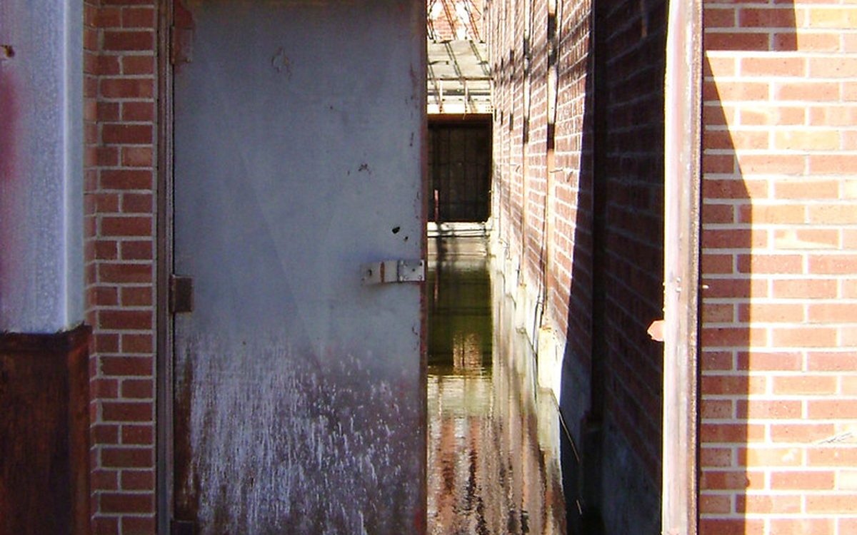
Now only — the other half is coming. Now: Brunson Theater, Baytown, Texas 0227101416 — Patrick Feller, CC BY 2.0.
12. Pelly's main street vs. the same block today
— the company town's storefronts and what replaced them.
Photographs coming.
13. Cedar Bayou's landing vs. Roseland Park
— the old settlement's waterfront and the park's ramp.
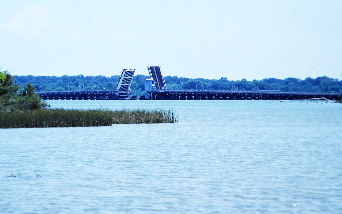
Then: A 1984 view of a since-removed bridge that once carried Tri-City Beach Road over Cedar Bayou, in Baytown, Texas, with its bascule draw span opened. This is a digitized Kodachrome slide from August 1984. The bridge was removed in the mid- to late 1980s and not replaced. (1984) — Wikimedia Commons, CC BY 2.0. Now: Drawbridge, Tri-City Beach Rd (Farm to Market 2354) over Cedar Bayou, Baytown, Texas, August, 1984 — Patrick Feller, CC BY 2.0.
14. Lee College's first building vs. the campus now
— the original hall and the Performing Arts Center.
Photographs coming.
15. Garth Road as a two-lane vs. the corridor
— the road before the mall, and the road now.
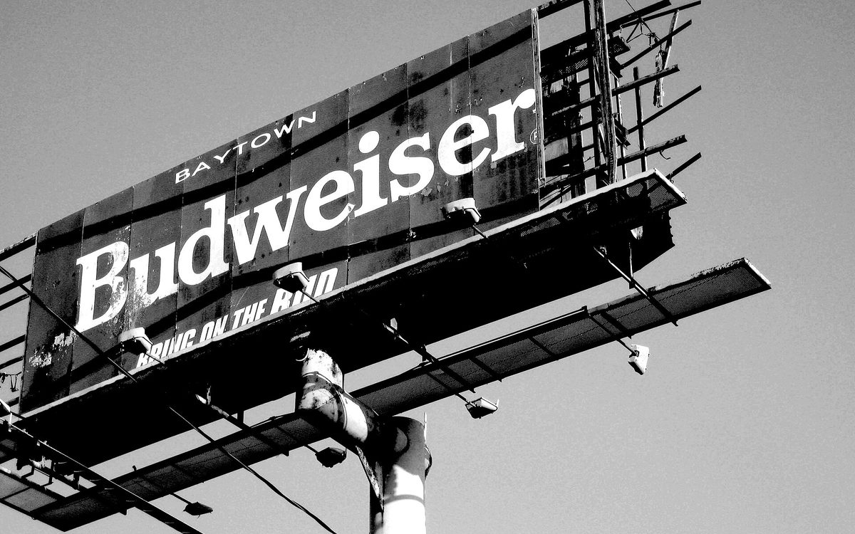
Then only — the other half is coming. Then: A billboard on Garth Road, Baytown, Texas is ravaged by the strong winds of Hurricane Ike in Sept 2008. (2008-10-04) — Wikimedia Commons, CC BY-SA 3.0.


